Crime statistics and data

In this section:
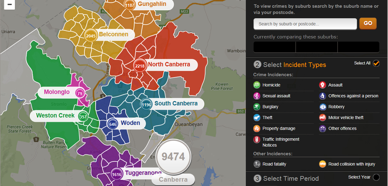
The CrimeStatistics map provides updated crime statistics by patrol zone, updated on a quarterly basis, though an interactive map.
The map defines eight key patrol zones:
- Tuggeranong
- Woden
- Weston Creek
- The Inner South
- Molonglo
- The Inner North
- Belconnen and;
- Gungahlin.
A small number of crime reports fall outside these zones and are listed as Miscellaneous. This includes reports of offences in Tharwa, Williamsdale, Uriarra and rural or parkland areas surrounding Canberra’s suburbs.
The map displays reports of the following crime types:
- Homicide
- Assault
- Sexual Assault
- Other Offences Against a Person
- Burglary
- Robbery
- Motor Vehicle Theft
- Property Damage
- Other Offences
- Theft (excluding Motor Vehicles)
It also shows statistics for Traffic Infringement Notices, collisions and collisions with injury.
The map aims to provide a ‘snap shot’ of crime reports in the ACT. It’s important to remember that the statistics represent reports of crime; it does not discriminate with substantiated and unsubstantiated reports.
The CrimeStatistic map allows you view crime across the ACT on a quarterly basis. The CrimeStatistics map also allows you to download offence data on a monthly basis.
Visit frequently asked questions for more information.


